
Wisley Acres on (Taylor Wimpey) - Bulk Earthworks
Project Overview
The Ockham Residential Development is a major new residential community in Surrey, delivering a mix of homes alongside shops, healthcare, education, sports facilities and a large country park. Situated close to the A3, M25 and nearby rail links, the development provides a well-connected countryside location with convenient access to London and the surrounding area.
Wisley Acres
Bulk Earthworks
Earthworks engineering, surveying and GPS plant support for a major residential development at Ockham, Surrey.
Engineering support from survey to finish level.
The Ockham Residential Development is a major new residential community in Surrey, delivering a mix of homes alongside shops, healthcare, education, sports facilities and a large country park. Situated close to the A3, M25 and nearby rail links, the development provides a well-connected countryside location with convenient access to London and the surrounding area.
Support covered detailed pre-work and post-work topographical surveys, earthworks control and the formation of roads, plots and natural drainage features across the development.
Survey-led earthworks delivery.
Original project records and site photography showing the principal activities carried out across Wisley Acres.
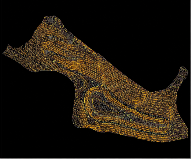
Topographical surveys & DTM processing
Detailed pre-work and post-work topographical surveys using feature coding and DTM software for post-processing and submission to the client.
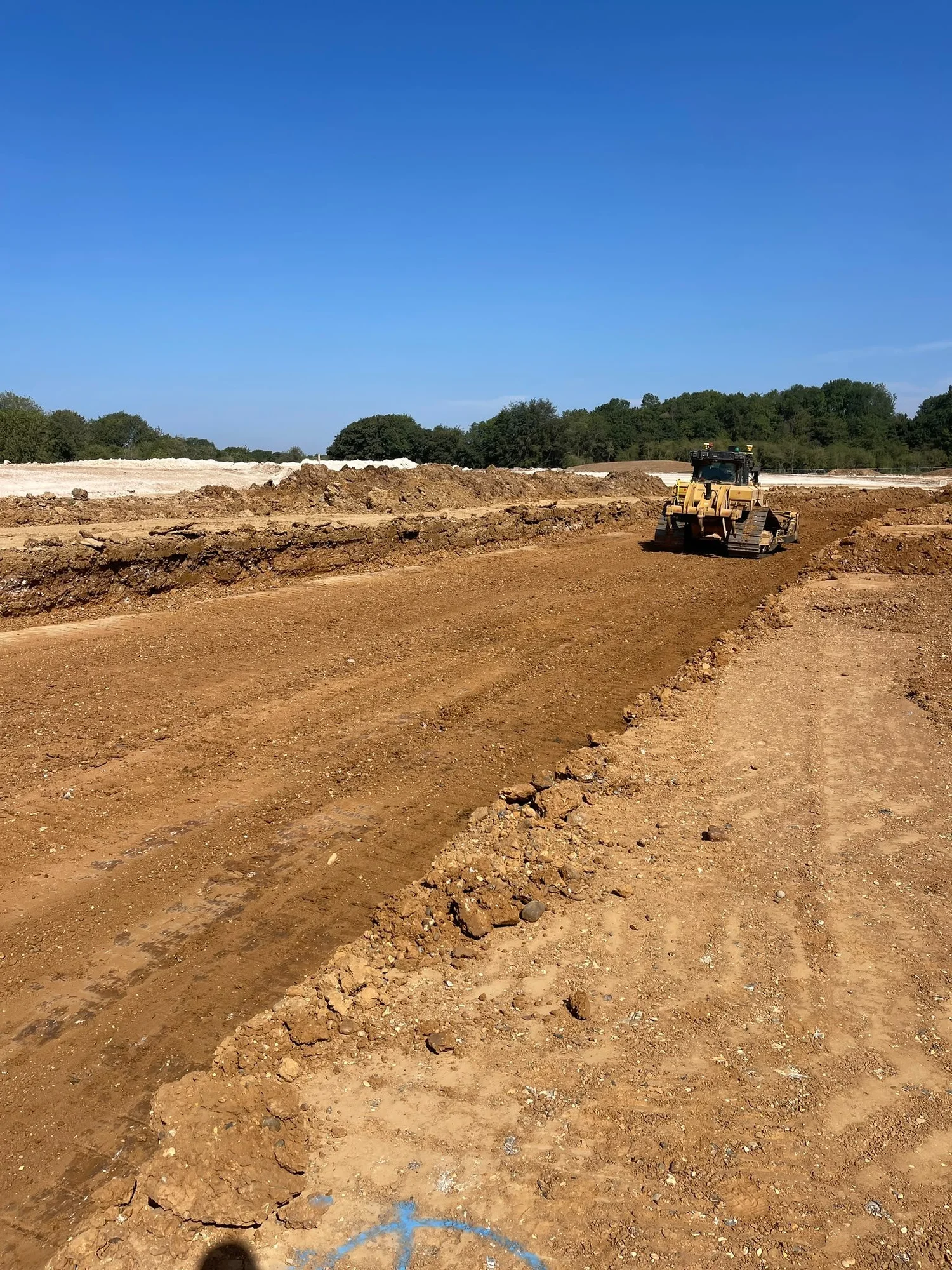
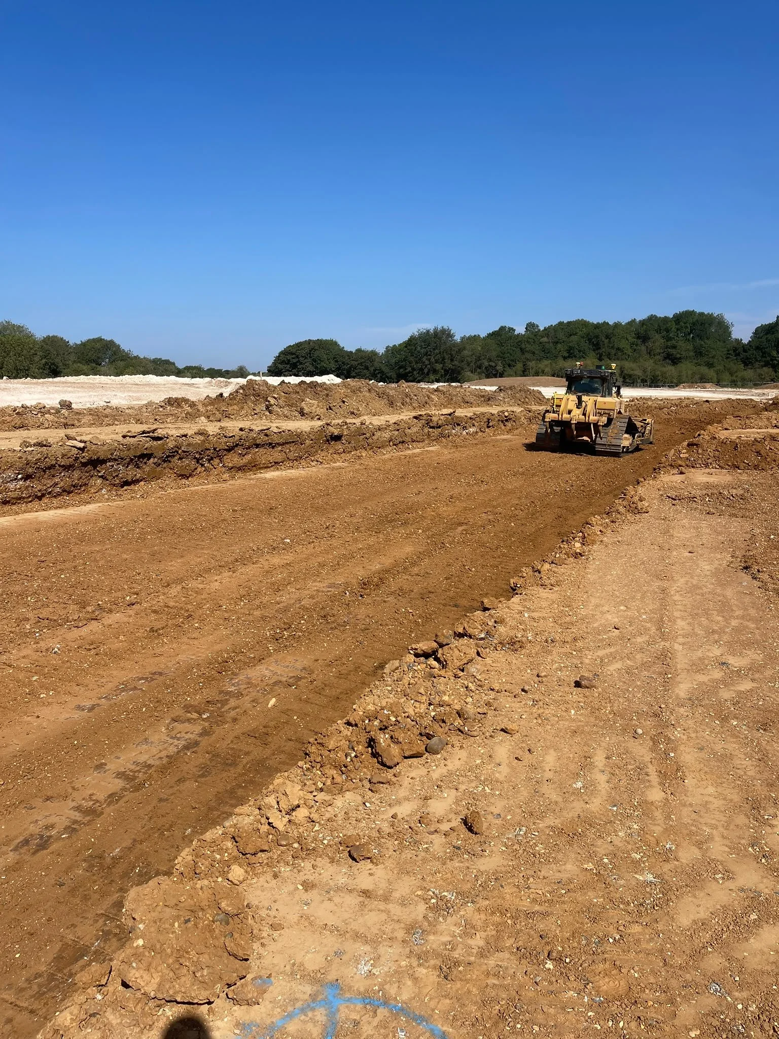
Box-cut road to formation level
Survey and level control supporting the excavation and trimming of roads to the required formation.
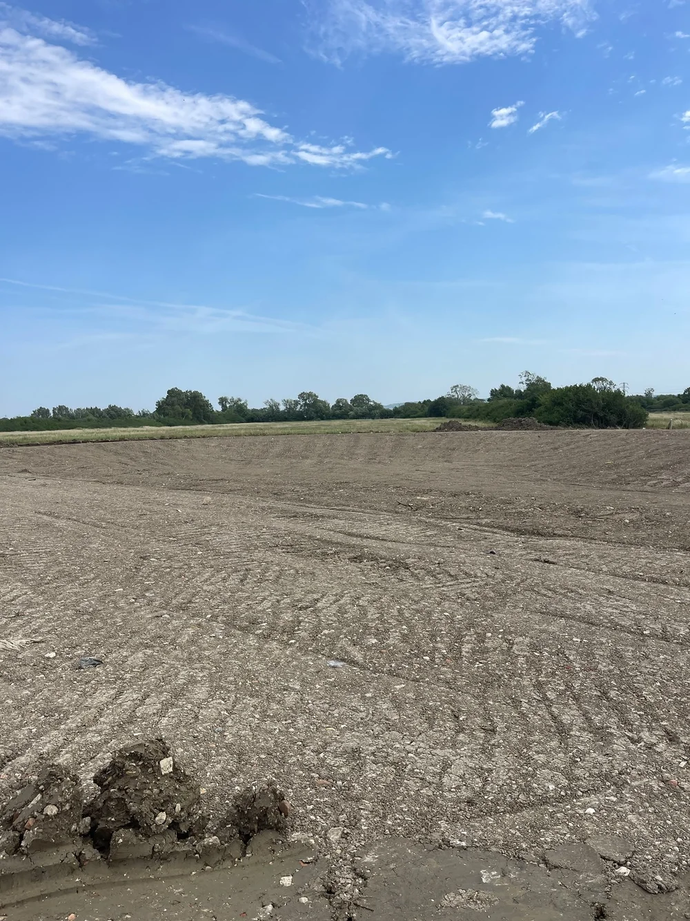
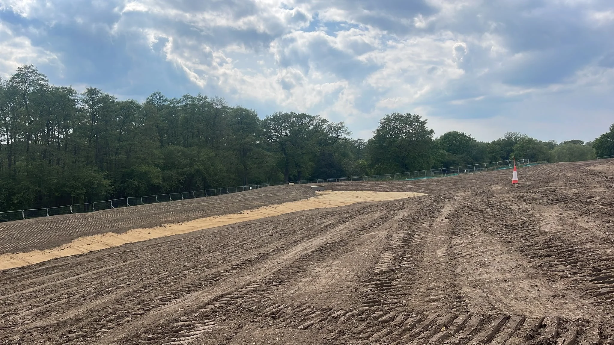
Topsoil placement
Controlled placement and profiling of topsoil across landscaped areas, plots and associated earthworks zones.
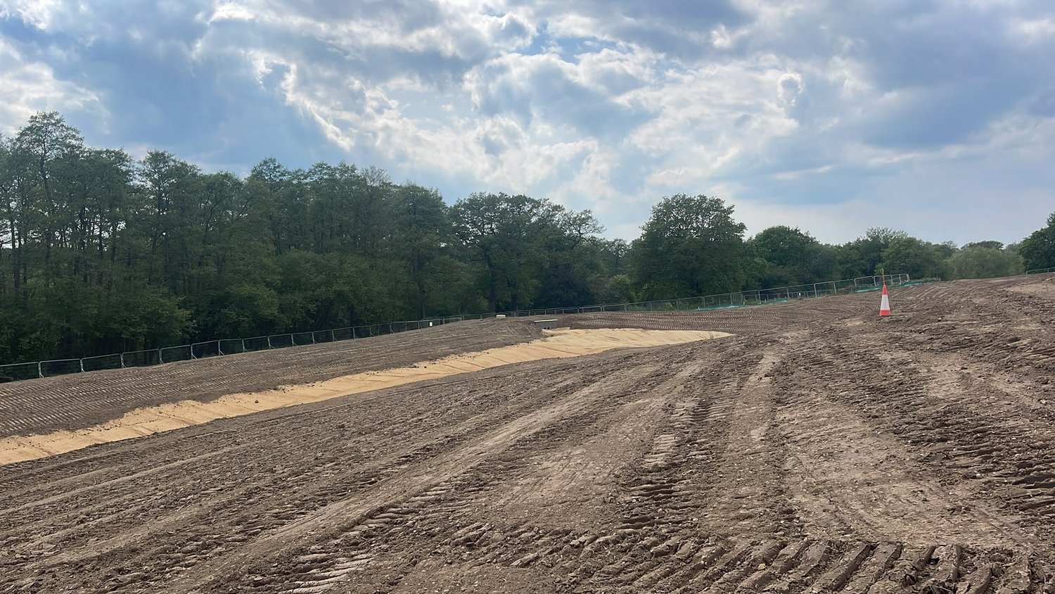
Ponds from formation to finish level
Installation and profiling of attenuation ponds from initial formation through to completed earthworks levels.
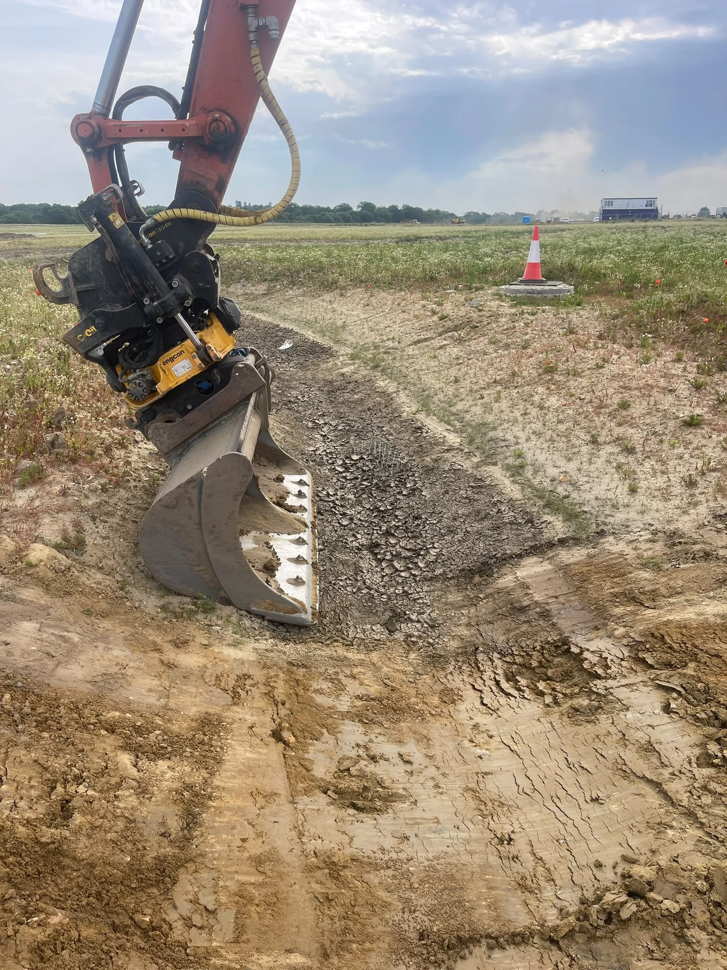
Associated drainage features
Excavation of V-ditches, swales and associated drainage features using GPS-enabled plant for accurate line and level control.
Practical earthworks support.
Accurate data. Clear results.
Talk to Swift Earthworks about your next project.
Detailed prework/post work topographical surveys using feature coding and DTM software for post processing and submittal to clients
Box cut road to formation level
Topsoil placement
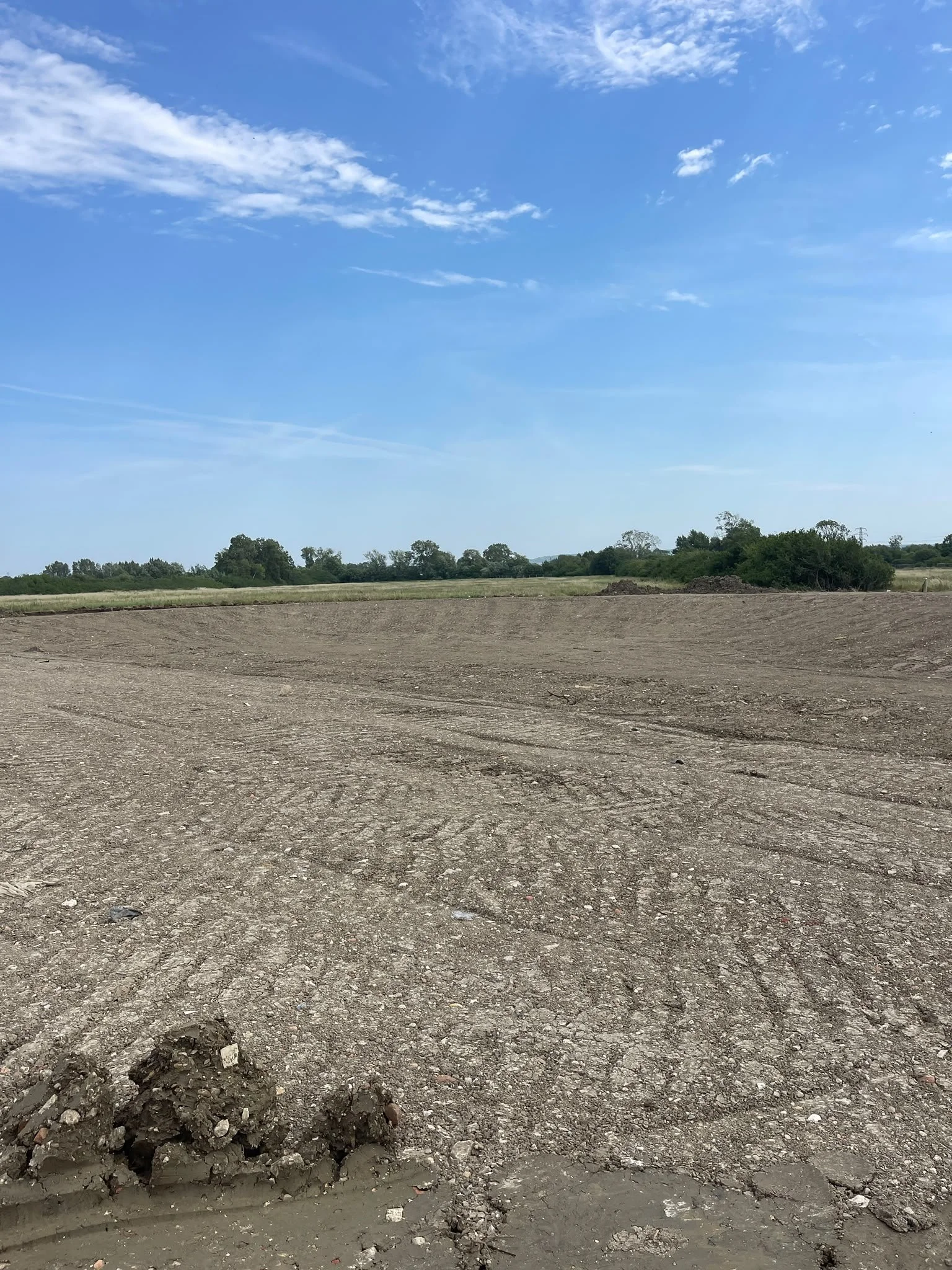
Installation of ponds from formation up to finish level
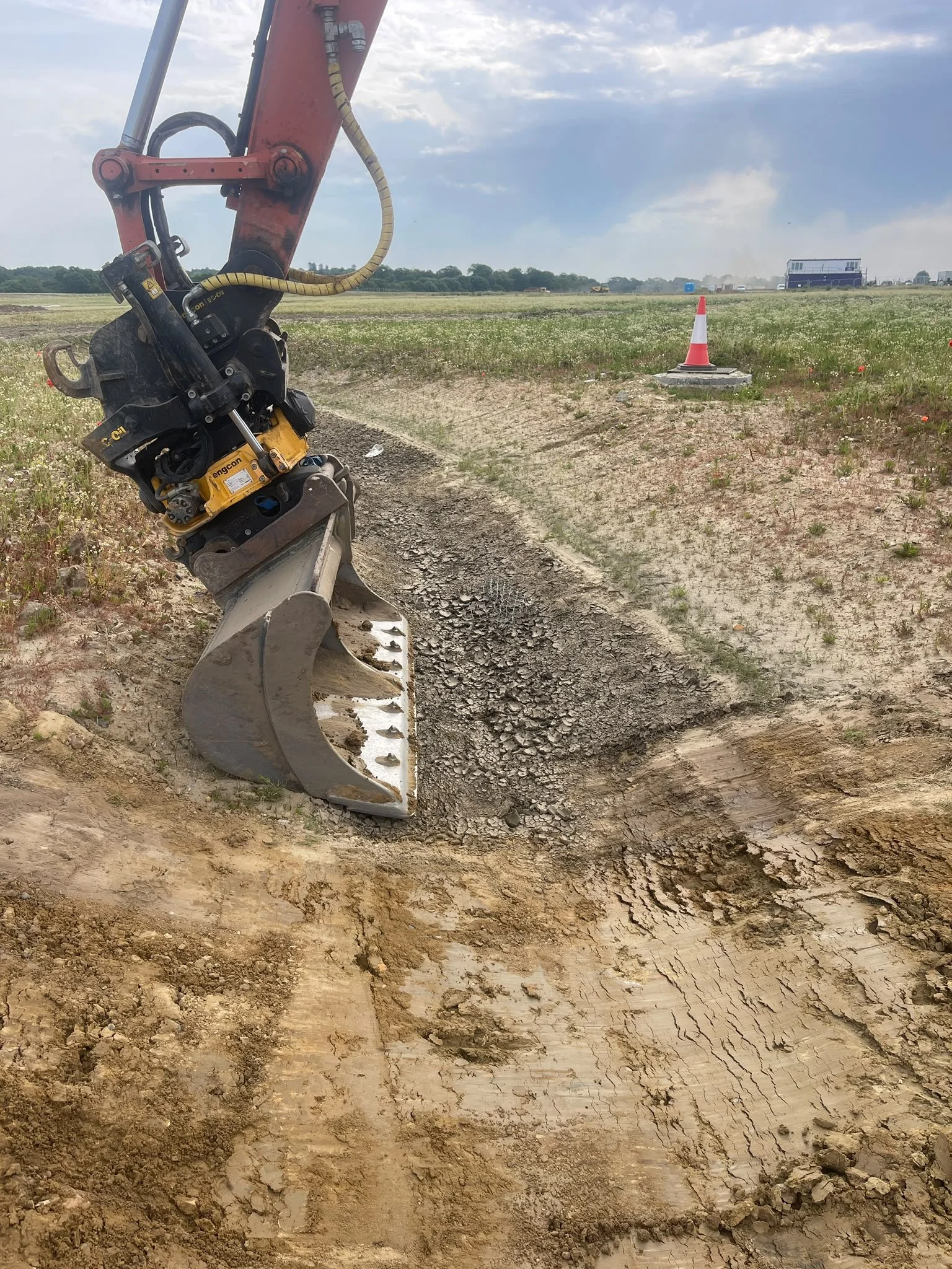
Digging of associated drainage features using GPS Plant